System for displaying a three-dimensional landmark

a three-dimensional landmark and system technology, applied in the field of navigation systems, can solve the problems of not knowing which part of the landmark is provided in the data set providing the 3-dimensional landmark, and it is not possible to include the 3-dimensional landmark into the display of 3-dimensional route guidan

Active Publication Date: 2013-07-11
HARMAN BECKER AUTOMOTIVE SYST
View PDF24 Cites 2 Cited by
  • Summary
  • Abstract
  • Description
  • Claims
  • Application Information

AI Technical Summary

Benefits of technology

This patented describes how it helps people who are traveling on roads get better navigational support during times when they want something like restaurants nearby. It includes a device called Navigation Unit (NUI) which determines where there's any available streets near them based upon their location within its own dataset. A camera then shows these maps showing what areas have been visited beforehand along those paths. By comparing this new way to existing ones, users may be able make informed decisions about whether visiting certain places more conveniently.

Problems solved by technology

Technological Problem: Navigation Systems (Navigational System) have been developed over time but they still only show 2 - dimensional maps showing roads without any indication about what kind of things there were at other times around them. Additionally, these navigating systems cannot tell if someone was inside their own way during an accident because they use different colored lines instead of just white markers like gold gates or tower bridges.

Method used


Image

  • System for displaying a three-dimensional landmark
  • System for displaying a three-dimensional landmark
  • System for displaying a three-dimensional landmark

Examples


Embodiment Construction

[0025]In the paragraphs that follow, examples of the invention will be described in connection with a vehicle user driving in a vehicle. However, it should be understood that the invention may also be applied to a pedestrian who is walking, or in other scenarios such as electronic city guides, route guidance for bicycles or other recreation activities, or similar.

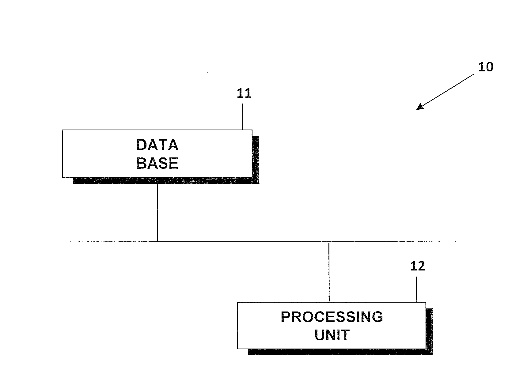
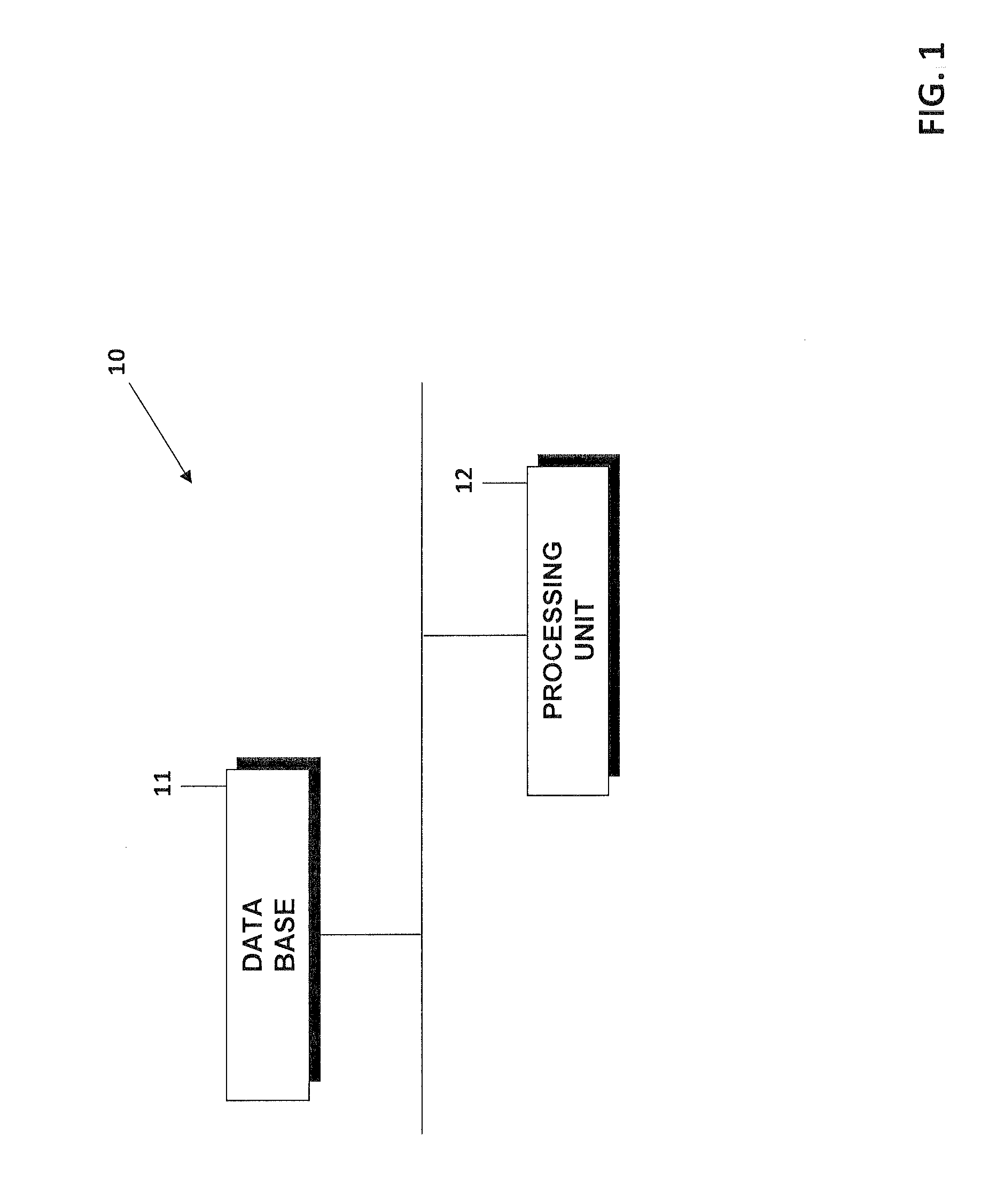
[0026]FIG. 1 shows a processing system 10 with which it is possible to identify a road traffic area of a data set of a landmark providing a 3-dimensional representation of a real world object. This system 10 may contain a database 11 where data sets containing the 3-dimensional landmarks are stored. The landmark may be any one of a number of different landmarks, such as a 3-dimensional representation of the Tower Bridge in

[0027]London or the Golden Gate Bridge in San Francisco or any other object that forms part of a road network used by vehicles for driving. The database 11 may furthermore contain map data with a road network


PUM


Abstract

A system and method for processing a 3-dimensional landmark providing a 3-dimensional representation of a 3-dimensional real world object located at a predefined geographic location is provided. The method includes the steps of providing a data set containing the 3-dimensional landmark, determining a largest continuous horizontal surface of the 3-dimensional landmark, and storing the determined largest horizontal surface as road traffic area of a road network used by a user when moving on the object.

Description


Claims


Application Information

Patent Timeline
Owner HARMAN BECKER AUTOMOTIVE SYST
Why Eureka
Try Eureka