Reconstructed vegetation remote sensing discrimination method based on long-time sequence vegetation indexes
A technology of vegetation index and discrimination method, applied in data processing applications, character and pattern recognition, instruments, etc., can solve the problems that the reliability of discrimination results cannot be guaranteed, and the differences in vegetation spectral characteristics are not obvious.
- Summary
- Abstract
- Description
- Claims
- Application Information
AI Technical Summary
Problems solved by technology
Method used
Image

Examples
Embodiment 1
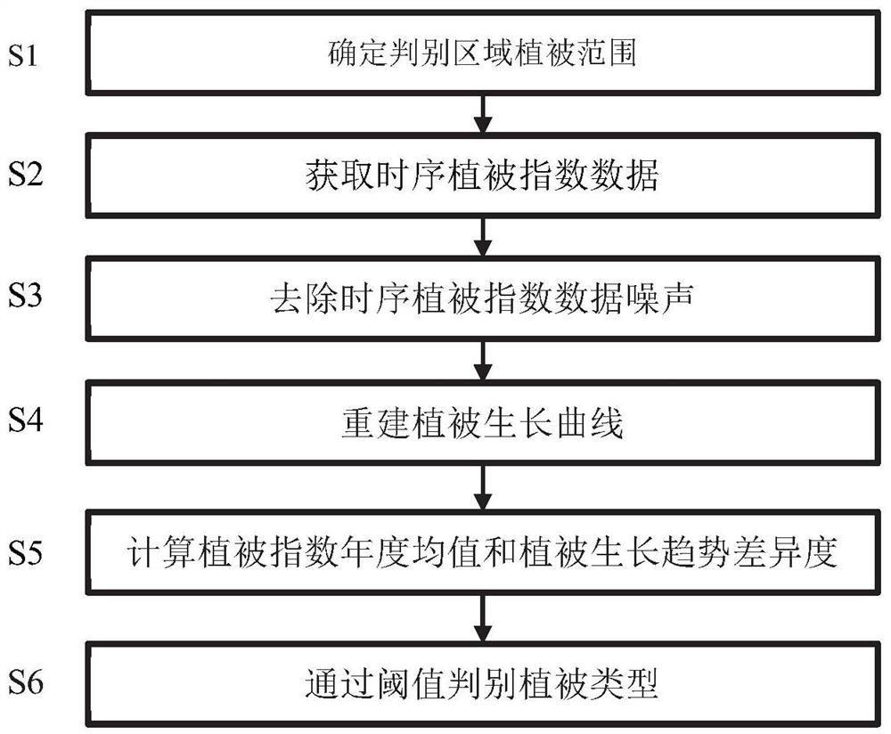
[0100] S1. Determine the vegetation range.
[0101] In this example, first use GoogleEarth software to locate the southern suburb of Datong City, Shanxi Province, and select two arbor-covered areas in the southern suburb of Datong City, Shanxi Province by visual interpretation with reference to the latest satellite remote sensing images: forest land A and forest land B, and then Use the tool that comes with the software to draw the rough boundaries of the two vegetation, and save it as a shp file in UTM coordinate system.
[0102] S2. Obtain time-series vegetation index data.
[0103] In this instance, through the USGS ( https: / / glovis.usgs.gov / ) obtained the normalized difference vegetation index (NDVI) data of all Landsat series remote sensing image files covering the southern suburbs of Datong City, Shanxi Province, and obtained 8-day interval NDVI data sets including Landsat4 / 5 TM, Landsat7 ETM and Landsat8OLC images, a total of 829 Period data, time series from M
PUM
 Abstract
Description
Claims
Application Information
 - R&D Engineer
- R&D Manager
- IP Professional
- Industry Leading Data Capabilities
- Powerful AI technology
- Patent DNA Extraction
Browse by: Latest US Patents, China's latest patents, Technical Efficacy Thesaurus, Application Domain, Technology Topic.
© 2024 PatSnap. All rights reserved.Legal|Privacy policy|Modern Slavery Act Transparency Statement|Sitemap